MARINE SPATIAL PLANNING TOOL
MSP TOOL
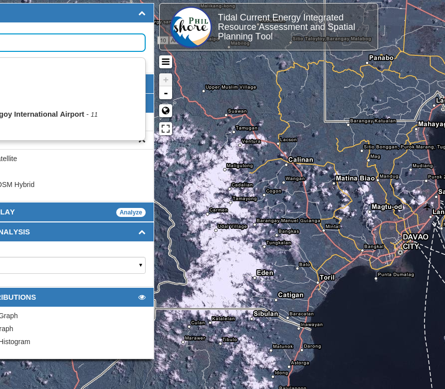
WebGIS Platform for tidal in-stream current energy development
ABOUT PHILSHORE
Philippine Sites for Harnessing Ocean Renewable Energy

PhilSHORE PCIEERD Technical Panel Meeting
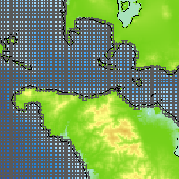
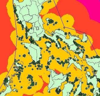
Also known as Tidal Current Energy Integrated Resource Assessment and Marine Spatial Planning, this project is a collaborative effort of the Philippine Council for Industry, Energy and Emerging Technology Research and Development, Department of Science and Technology (PCIEERD-DOST); University of the Philippines Diliman (UPD) - Department of Geodetic Engineering (DGE) through Training Center for Applied Geodesy and Photogrammetry (TCAGP), Department of Mechanical Engineering (DME), and Marine Science Institute (MSI); and the Renewable Energy Management Bureau, Department of Energy (REMB-DOE). Through application of Geographic Information Systems (GIS), Project PhilSHORE aims to identify the country’s potential sites for conversion of tidal current energy and at the same time, develop a webGIS-based marine spatial planning (MSP) tool for site analysis. It is hoped that this Project will lay the groundwork for the advancement of ocean renewable energy in the Philippines. This is in ... Read More